

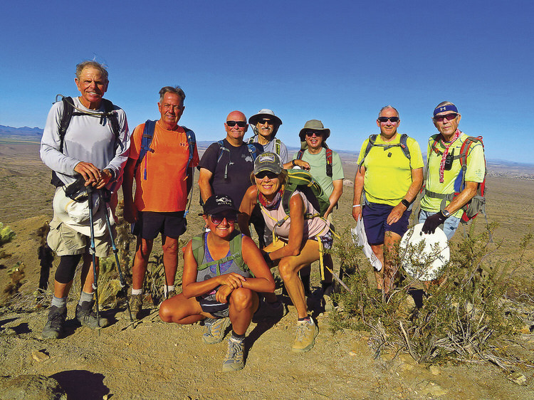
L to R, front: Mary Perlaki-Neely and Kris Raczkiewicz; rear: Tom O’Reilly, Thom Zemke, Neal Wring, Mike Tansey, Craig Rabe, Stacey Miller, and Lynn Warren (photographer) pausing after a snack break on Skyline’s Pyrite Summit.
“B” Hikers Snack on Pyrite Summit
Lynn Warren
Pyrite Summit is one of the newer trails in Buckeye’s Skyline Park and is challenging since it requires a strenuous climb to the summit. There are two ways of getting to the top: a longer, more gradual climb from the south or a shorter but much steeper climb on the north side. On June 3, even though the temperature forecast was 108, nine “B” hikers turned out early for this scenic but challenging 7-mile hike with 1100 ft. of vertical gain. Regardless of the route to the top, the elevation gain is roughly the same, but for this hike, the hikers chose the longer but less steep trail from the south side. Once on Pyrite Summit, the group paused for a snack break (late breakfast?) and enjoyed the 360-degree views before heading down for the return. Why not join the club and experience areas such as this with a great group of people; visit the club website at pchikers.org for more information and photos.
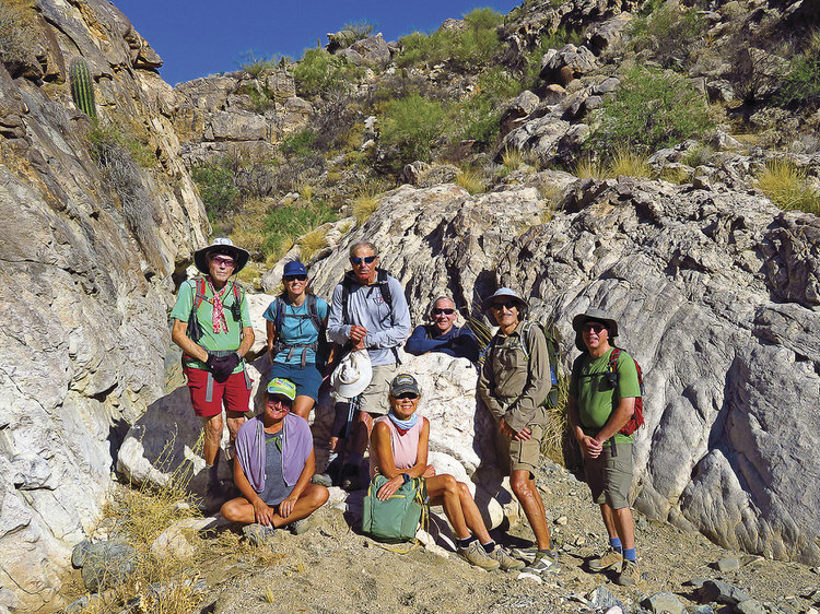
L to R: Lynn Warren (photographer), Mary Perlaki-Neely, Renee Rabe, Tom O’Reilly, Kris Raczkiewicz, Stacey Miller, Mike Tansey, and Craig Rabe pausing on the way down from the Ford Canyon Dam.
Saturday Hike in Ford Canyon
Lynn Warren
On a hot June 6, with afternoon temperature reaching 104 degrees, eight “B” hikers started early and enjoyed a scenic but strenuous hike to the dam in White Tanks Ford Canyon. Although the hikers made an initial wrong turn, they quickly corrected and completed an 8.2-mile in-and-out hike with 1200 ft. of vertical gain. Normally, you would think that a dam holds back water but remember, this is Arizona desert, so the dam, a remnant of early 20th century water management efforts, now simply holds back sand. Ford Canyon, likely named for early settler Bert Ford, was one of the early trails in White Tank Mountain Regional Park, and is still probably the most scenic. The club offers hikes at different levels, even during the summer; visit pchikers.org for more information and photos.
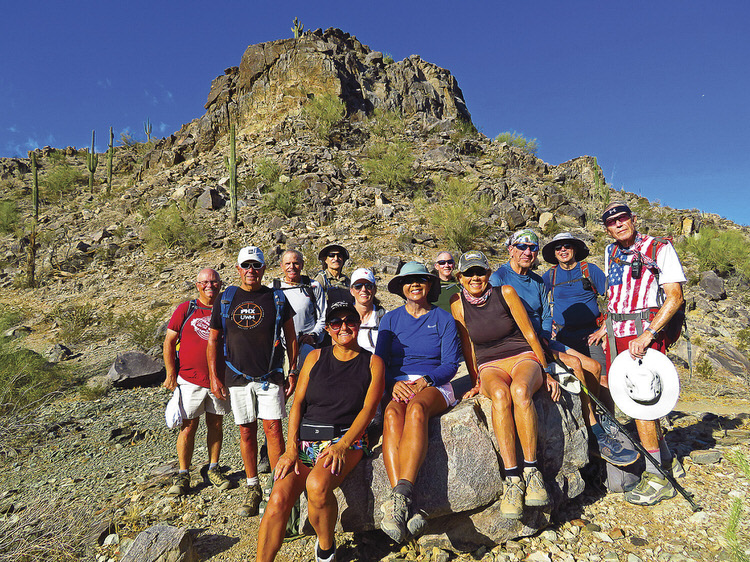
L to R, seated: Mary Perlaki-Neely, Rowena Staphenson, and Kris Raczkiewicz; standing: Neal Wring, Thom Zemke, Tom O’Reilly, Mike Tansey, Renee Rabe, Stacey Miller, Bill Halte, Craig Rabe, and Lynn Warren (photographer) pausing on the climb to the top of Blackjack Peak in Estrella Foothills.
Enjoying a Memorial Day Hike
Lynn Warren
May 25 was Memorial Day and 12 hikers travelled to Estrella Foothills (just a few miles down Estrella Parkway) for a somewhat familiar 7-mile loop hike with approximately 1000 ft. of elevation gain since the group climbed the east side of Blackjack Peak and descended the challenging west side. This hike was new for a couple of more recent members, but everyone handled the hike with no incidents. Why not join the club and experience areas such as this with a great group of people; visit the club website at pchikers.org for more information and photos.