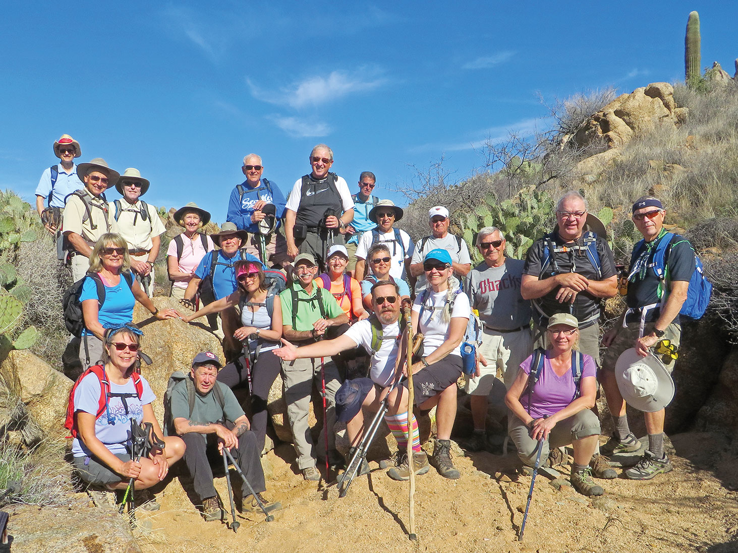
PebbleCreek “C” Hikers pause for lunch on the Government Springs segment of the Black Canyon Trail; photographer Lynn Warren.
Lynn Warren
The Black Canyon Trail (BCT) is a 62-mile desert multi-use trail parallel to I-17 that stretches from the Carefree Highway up to the Prescott National Forest, skirting the base of the Bradshaw Mountains. On a very spring-like February 10, a large group of “C” hikers hiked the BCT from Bumble Bee to the area known as Government Springs (which actually has water) and then returned. The unusually warm day made for a very pleasant hike but, just as reported in the news, also brought an unusually early sighting of a rattler who was sunning himself on a large flat boulder a safe distance from the trail. The club hikes five days a week and meets on the third Thursday of the month and has hikes for most levels of fitness; visit the club website at PCHIKERS.ORG for more information and photos.
 Pete Williams
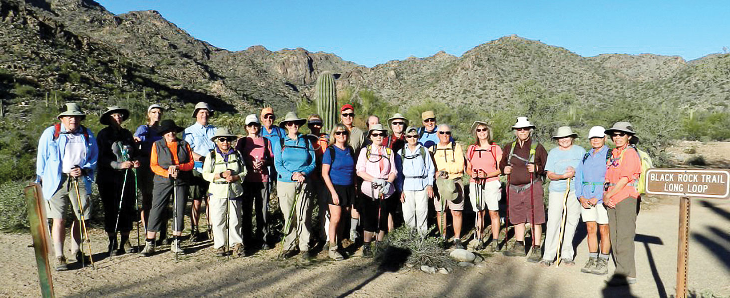
24 hikers from the PebbleCreek Hiking Club hiked along the Mule Deer, Black Rock and Waterfall Trails in the White Tank Mountain Regional Park on February 11. It was a surprisingly warm February day! Enjoying the hike were Hal King, Deanna Irriger, Jan Sherwood, Joy Bole, Jim O’Shea, Yuko Jamiolkowski, Chryl Prisland, Jerry Maule, Pat Chernow, Doreen Cooke, Nancy Love, Wayne Wills, Carol Sanders, Roger Sanders, Dana Thomas (Hike Leader), Jane Sweet, Heinz Irriger, Dennis Zigmunt, Kay Thomas, Paul Romanos, Mary Kuhn, Linda Maule and Beverly Kim. Doug Jamiolkowski was the photographer. While all of our hikes have attracted larger than usual numbers of hikers, the Thursday D level hikes (four to five miles) have enjoyed the largest numbers of hikers. Please visit our website at pchikers.org for more information about the club and some excellent pictures of natural Arizona.
 Pete Williams
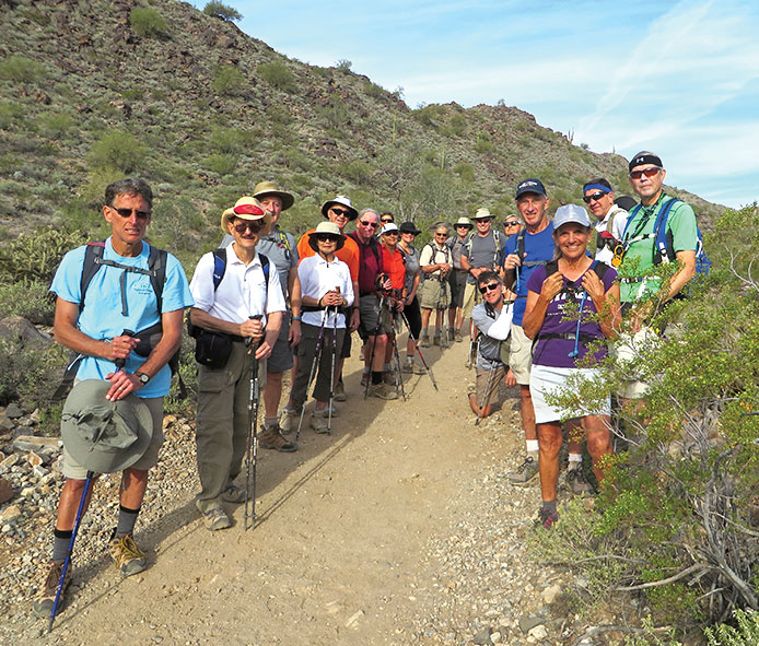
On leap day, February 29, eighteen hikers from the PebbleCreek Hiking Club checked out the trails at Buckeye’s new Skyline Regional Park. Buckeye did a great job creating the trails and it was a perfect day to hike. Hikers included (left to right): Mark, Pete, Roger, Atsuko, Wayne, Joe, Ruth, Julian, Johna, Art, Dana, John, Vic, Tom, Clare, Marilyn, Bill and Lynn (photographer). We actually had two levels of hikes (a C level of 7.7 miles and a B level of 10.3 miles) which came together for the photo. For more photos and information about the club please visit our website at pchikers.org.

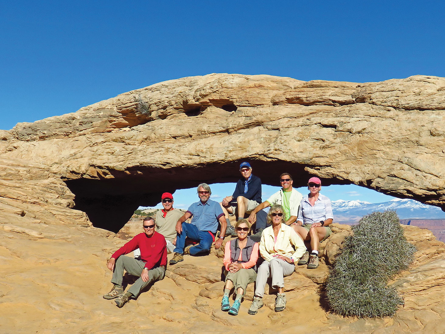
Left to right: Les Reister, Wayne Wills, Gary Bray, Lynn Warren, Donna Gillen, Vicki Carter, Jeff Gillen and Julie Walmsley at Mesa Arch (Canyonlands) with snowcapped La Sal Mountains visible through the arch.
Lynn Warren
The Hiking Club goes on several overnight trips during the season to areas too far away for day hikes. On March 7 forty-five club members and spouses headed north to Moab, Utah, for several days of hiking in two of Utah’s most popular national parks. One day was devoted to Arches National Park, including hikes to the iconic Delicate Arch and Landscape Arch. Another day was spent hiking various trails in the Island in the Sky section of Canyonlands National Park, a next door neighbor of Arches. Hikes were planned for the same three levels of hiking ability as practiced in the Phoenix area so hikers could choose hikes consistent with their ability. Pictured above are eight “B” level hikers relaxing at Mesa Arch in Canyonlands after spending the better part of the day hiking into, around and out of Murphy Basin (almost 12 miles and approximately 1900 feet of elevation gain). This hike passed through a variety of scenic terrain but was also quite strenuous and challenging. Although the focus of the overnight trip was hiking, it was not all work and a day of hiking was followed by a social hour before dinner in a Moab restaurant. The hiking club enjoys local hikes all around the valley as well as overnight trips to more distant, interesting areas. The club meets in the Tuscany Ballroom on the third Thursday throughout the hiking season; visit the club’s website at PCHIKERS.ORG for more information and pictures.
